
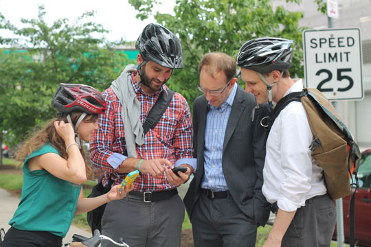
Data from the CyclePhilly app can be used by regional transportation planners to make Philadelphia a better place to ride. | photos by Photo courtesy of Delaware Valley Regional Planning Commission’s (DVRPC)
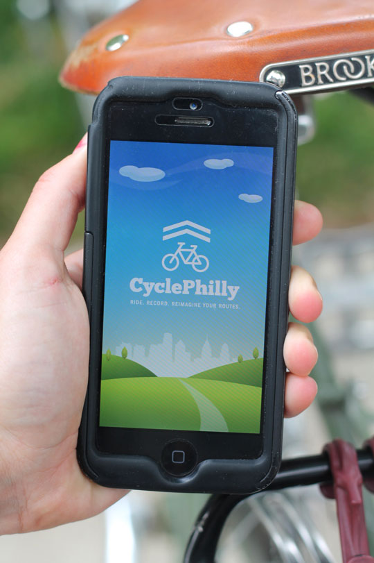
The future of Philadelphia’s bike lanes is in your hands thanks to the new smartphone app CyclePhilly. Launching the app when you start your ride allows CyclePhilly to track your route—whether it’s your morning commute or just a leisurely weekend ride. The app then collates your data with that of other users, which, according to CyclePhilly founder Corey Acri, makes “Philly a better place to bike” by using biking habits to inform future bicycle infrastructure planning.
Acri first had the idea for CyclePhilly in summer 2013, and approached the Delaware Valley Regional Planning Commission’s (DVRPC) Office of Transit, Bicycle and Pedestrian Planning with it. Manager and city planner Greg Krykewycz agreed to collaborate with CyclePhilly through branding and analyzing data while Acri and his fellow volunteer programmers at Code for Philly—led by Lloyd Emelle—wrote the code. Together, the team developed a beta application based on code from an open source route-tracking platform in Atlanta (similar apps also exist in San Francisco, Austin and Montreal). The public app launched in May.
Traditionally, city planners have counted cyclists that pass through a given location without providing qualitative information such as origin and destination, length of trip, or a ride’s purpose. CyclePhilly bridges this gap by feeding the DVRPC with valuable information including how far cyclists will ride out of their way to reach a bike lane or path when commuting versus riding recreationally.
“This is the best possible data set for us,” says Krykewycz. “We’re particularly interested in the bike to transit connection.” Krykewycz will share the data analysis with DVRPC’s regional partners—the Bicycle Coalition of Greater Philadelphia, SEPTA and the Mayor’s Office of Transportation & Utilities—to promote data-driven bike infrastructure planning throughout Philadelphia and its suburbs.
CyclePhilly users seem to enjoy the app and its interactive platform. Local architect and CyclePhilly user Juliet Geldi Riggall says, “I am very excited about the ability to provide data directly.” Though she and others note that the app’s GPS drains smartphone batteries, Riggall chooses to use the CyclePhilly app to help provide data.
As of mid-May, Philadelphia cyclists logged more than 2,100 trips. CyclePhilly is available for free download from the App Store and Google Play.
Story by Lauren Mandel